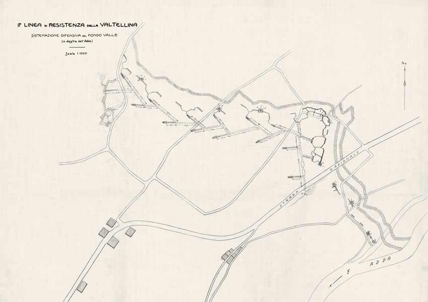
Seconda linea di resistenza della Valtellina (1915-1918)
The Valtellina Second Defensive Line
Zweite Verteidigungslinie des Veltlins
Sites on the trail
Dedicated pages with maps and insights along the “Fortezza di Grosio” route.
Here you’ll find the pages for each site on the trail: trenches, shelters, connecting paths and emplacements from the Great War.
Each page is available in Italiano, English, Deutsch — after scanning the QR code, choose your language directly on the page.
Tip: bookmark the page to keep exploring.
Route 1
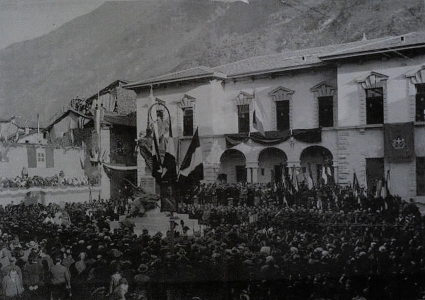
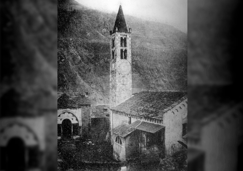
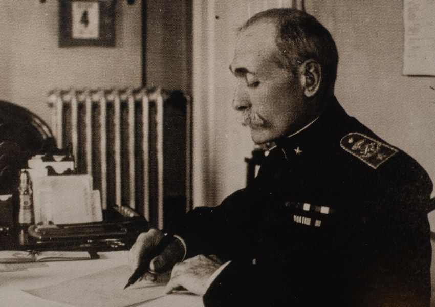
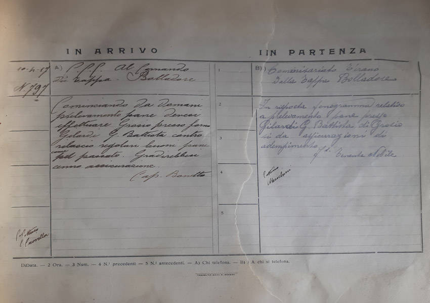
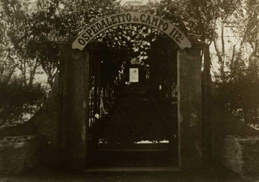
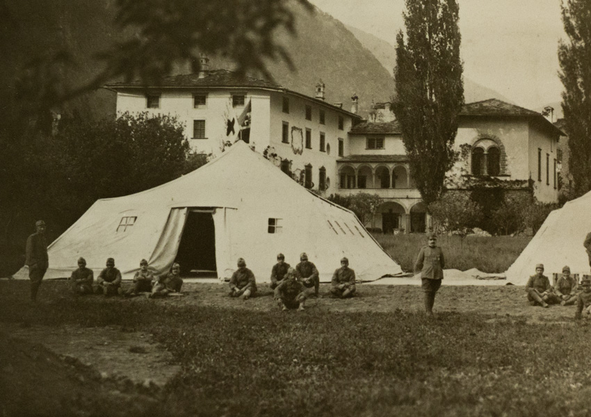
Route 1 offers an opportunity to explore the strategic role played by the village of Grosio during the First World War. The route features a series of information panels placed at significant locations, illustrated with historical photographs and documents. QR codes also provide access to additional information available on the Association’s website.
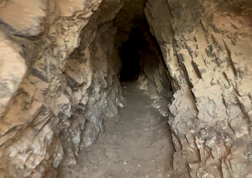
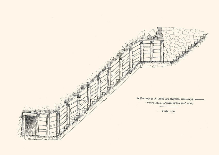
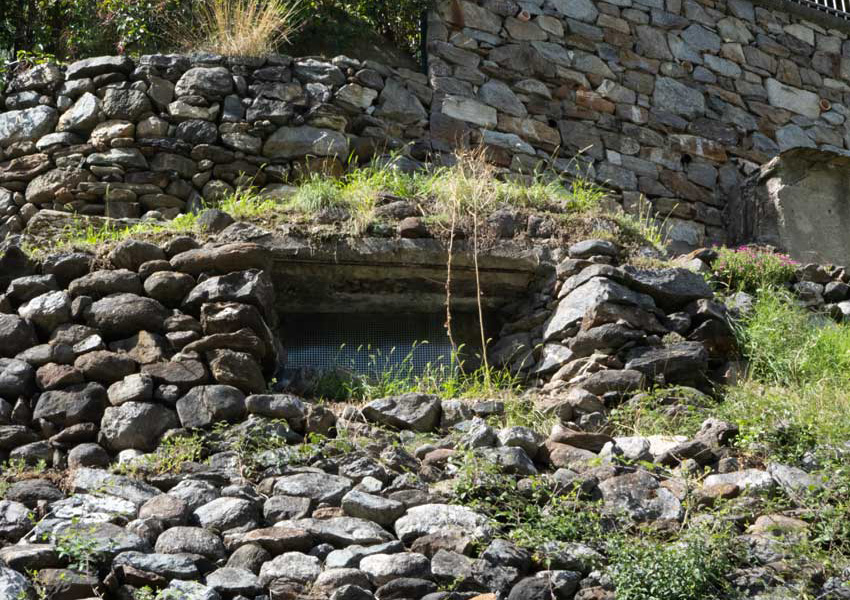
Of particular importance is the tunnel shelter, one of the most remarkable surviving examples of military architecture in the Grosio area. Exploring it on a guided tour offers an immersive experience of considerable educational and commemorative value.
The route is marked by dedicated signage, consisting of directional arrows and stickers bearing the logo of the “La Fortezza di Grosio” project.

Con il contributo di


Con il contributo di

Iniziativa patrocinata e sostenuta dalla Provincia di Sondrio